When skiing or hiking at a new place, suitable maps are essential. These maps can be hard to come by, however, and most GPS maps do not contain information about walking paths, ski slopes or lifts. OpenStreetMap, however, has a lot of good information, and I have been using it in off-piste skiing, finding ski areas, and hiking around the world.
OpenStreetMap is a community-driven project, with contributions from people with local knowledge. My friend Tero is one of the thousands of contributors to OpenStreetMap. His goal is to add information about the out-of-the-way ski areas that we often visit. The existence of the ski area itself can be marked, making finding the place easier. Ski lift positions help general navigation in the area for the purposes of off-piste skiing, etc.
In this article Tero explains how to make contributions to OpenStreetMap. The basic idea is quite easy: mark waypoints or tracks on your GPS and then upload these to the OpenStreetMap website.
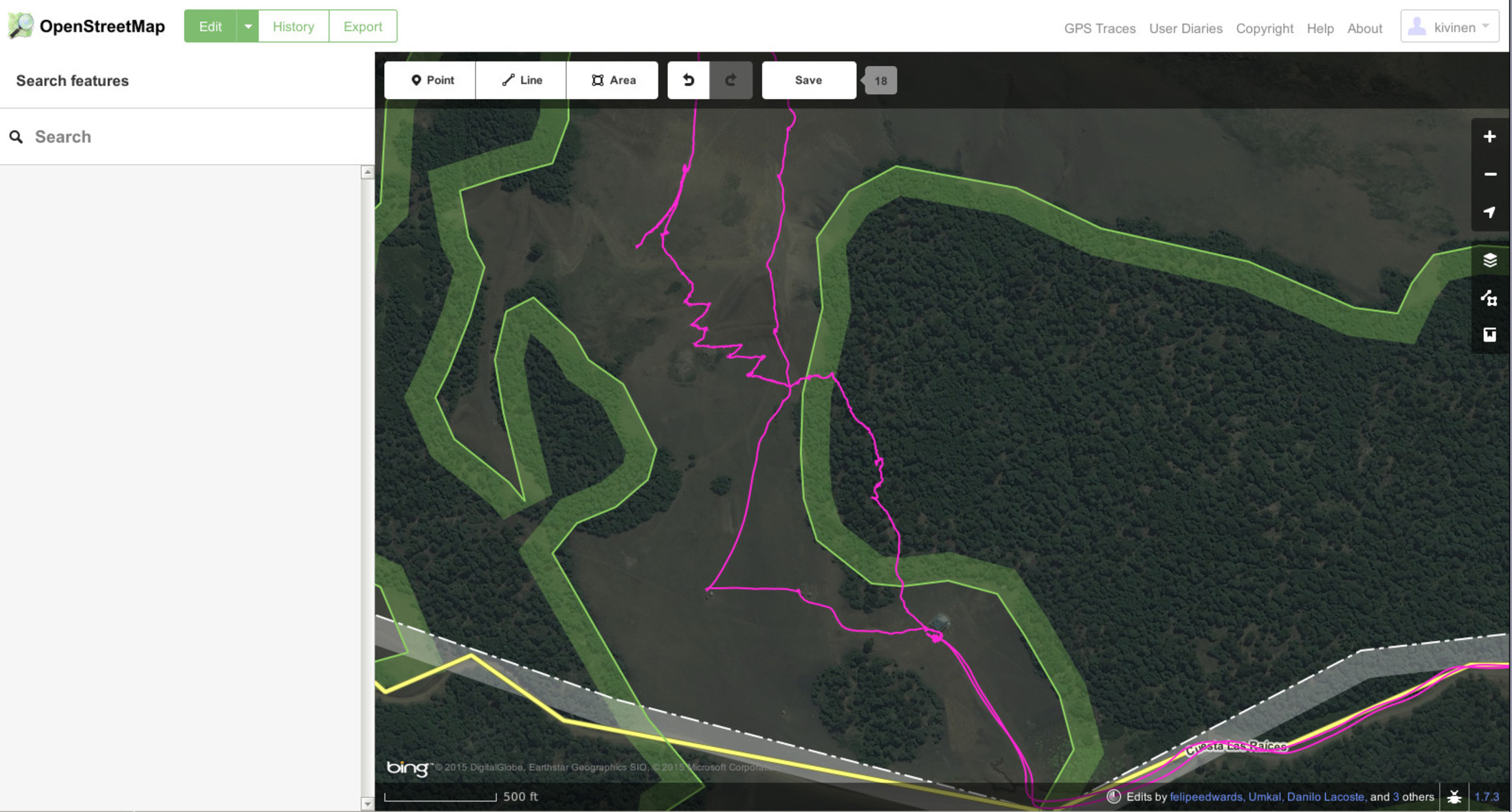
For instance, at Los Arenales Tero marked the endpoints of the two ski lifts, and then added the lifts to the database. Here is how Los Arenales looked like (overlaid with our GPS tracks from the climb) before the change:
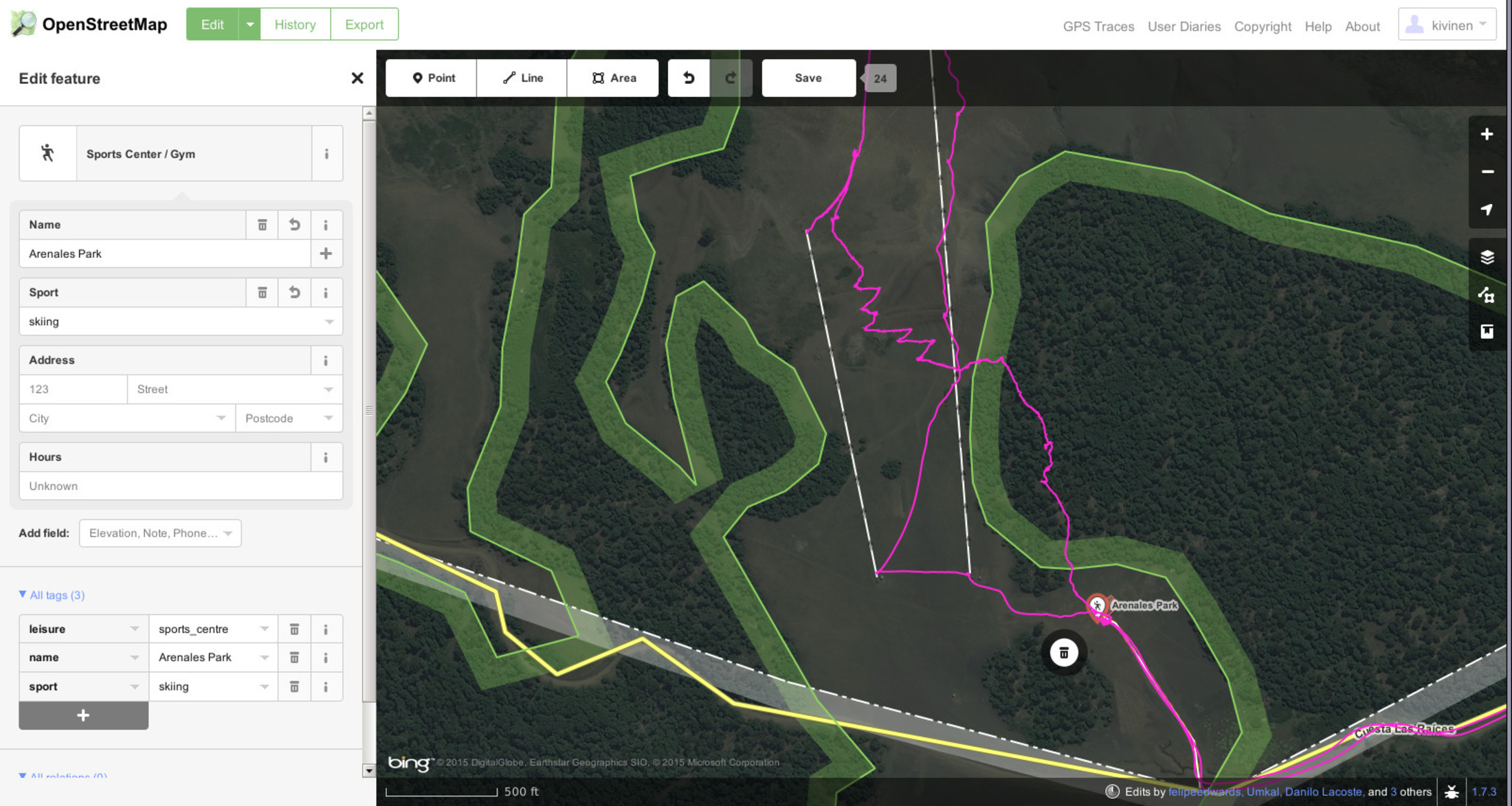
And then after the change the ski lifts are visible:
Here are the more detailed instructions.
First, you need a GPS device. Tero uses Garmin eTrex devices (such as eTrex 30x) that support OpenStreetMap formats natively. Second, you need to register at openstreetmap.com to be able to submit additions.
While on the mountains or on the hike, keep the GPS on and let it save your track. It may also be useful to mark specific points, such as the beginning or end of a ski lift or trail.
After the the trip, do the following:
If necessary, you may need to combine multiple GPX files. There is a handy script for doing this at end of this blog post.
Now you have map and your track overlaid.
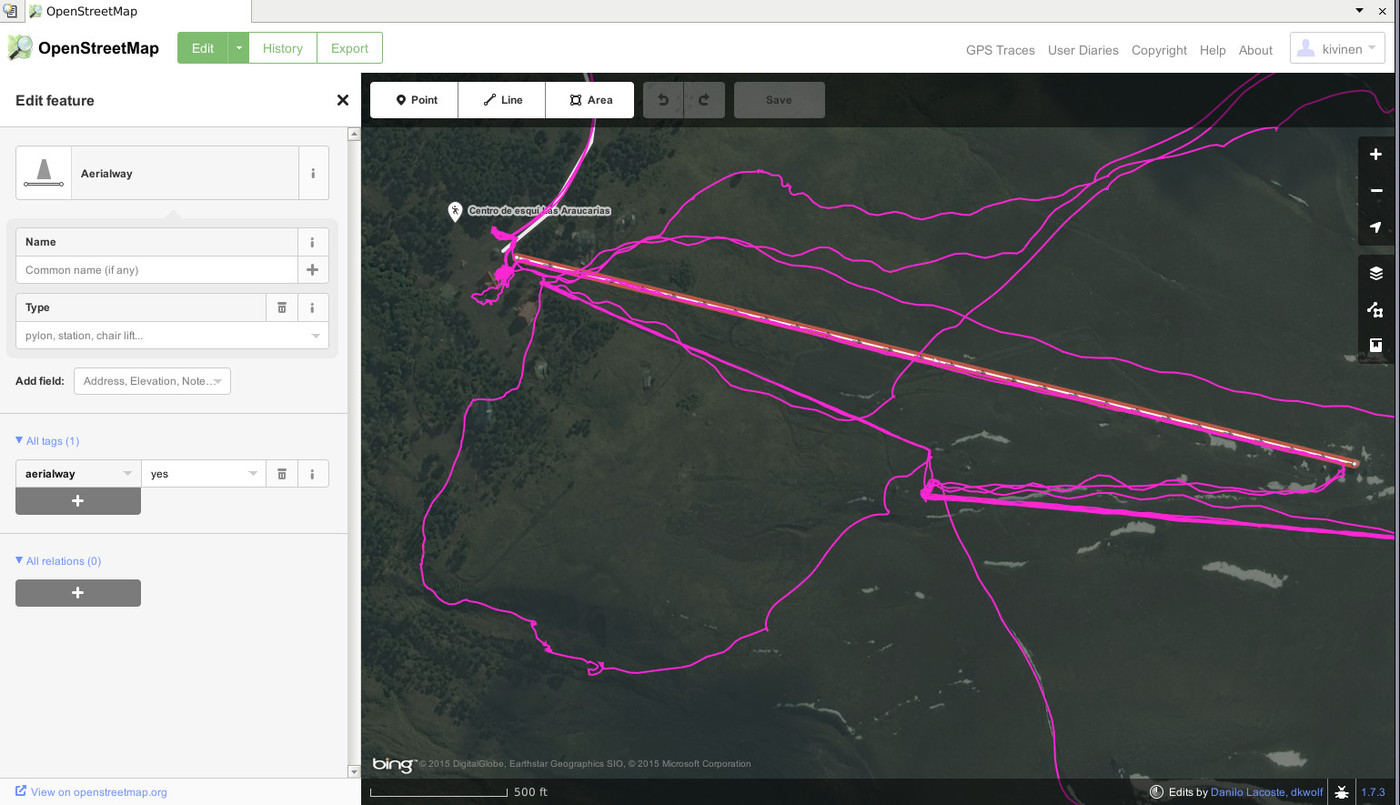
For example in another ski area we visited in Chile, Araucarias, there are several ski lifts. But only one of them was listed in OpenStreetMap. And even that one had missing information. Make sure the name is correct, or if there is no name, keep the name empty. Make sure the lift direction is correct, i.e. from down to up.
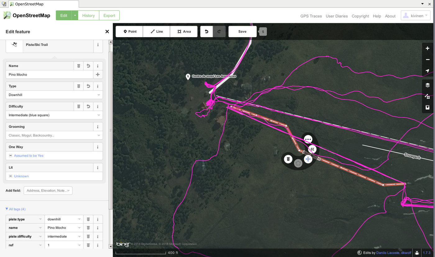
Add name is if the slope is named, and try to be accurate with the spelling. If there is numbers or letters for the lifts, add them as "Ref", by scrolling down on the left, and clicking "+" after the All tags menu, and then writing "ref" on the left side, and writing number/letter on the right.
The OpenStreetMap entry for Araucarias shows examples of pistes and lifts.
(Original source video is also available here.)
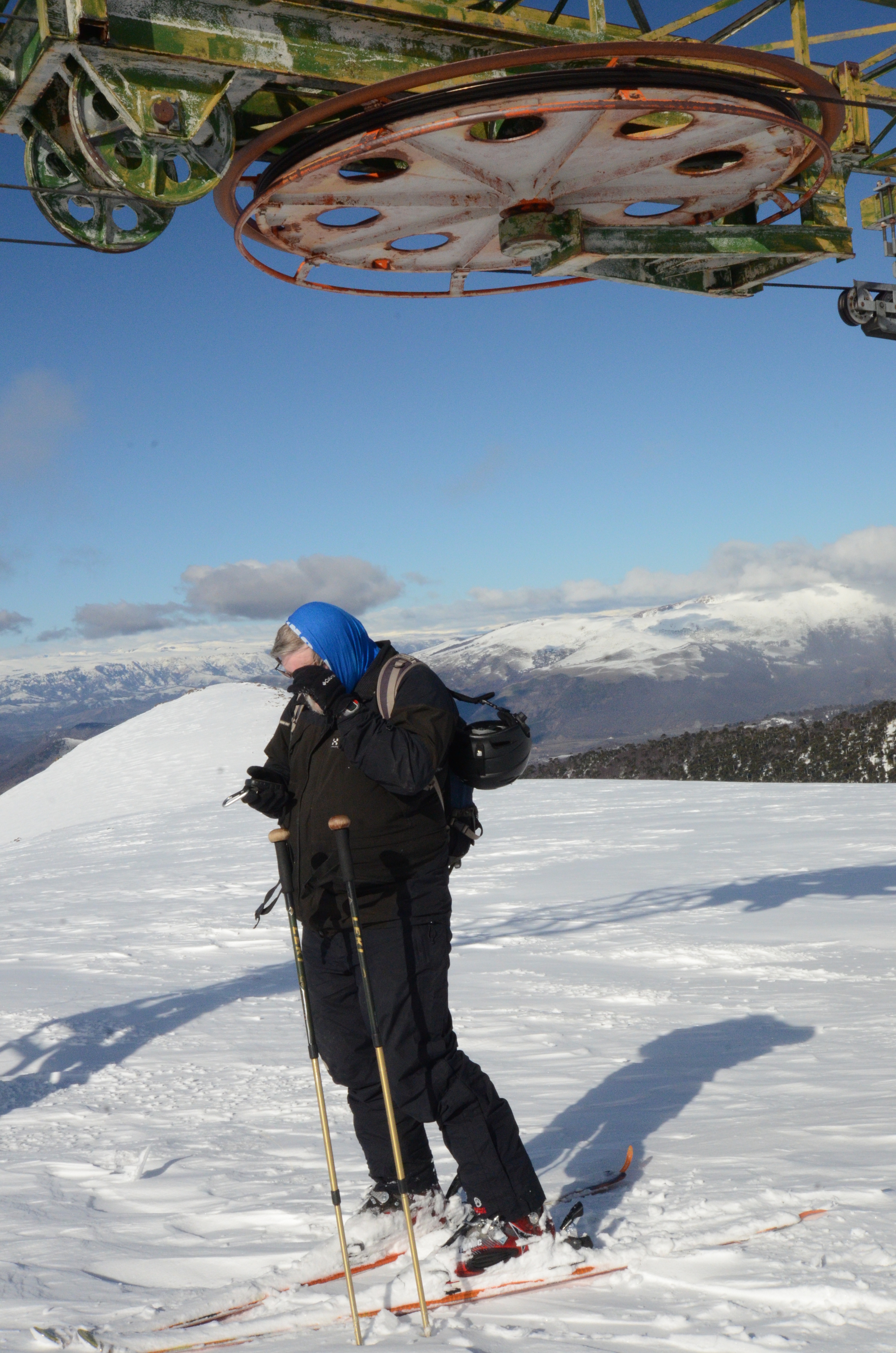
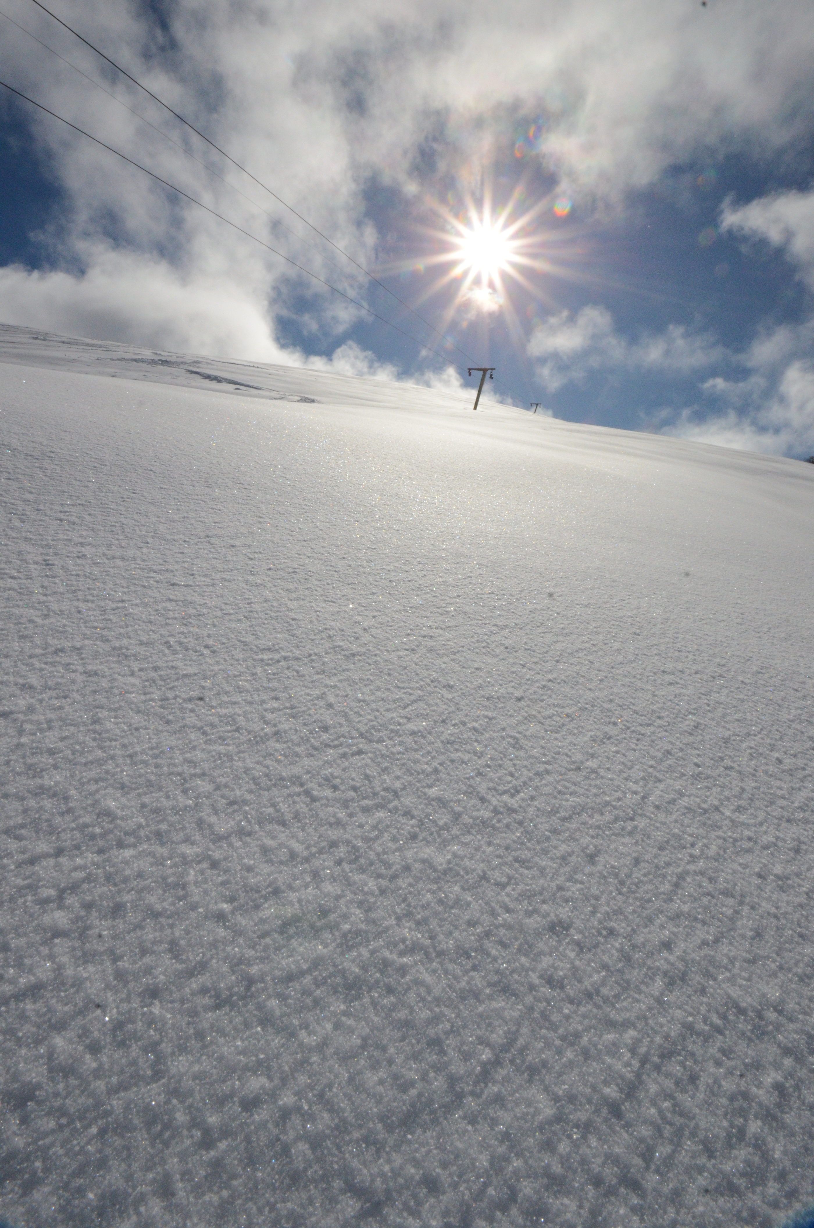
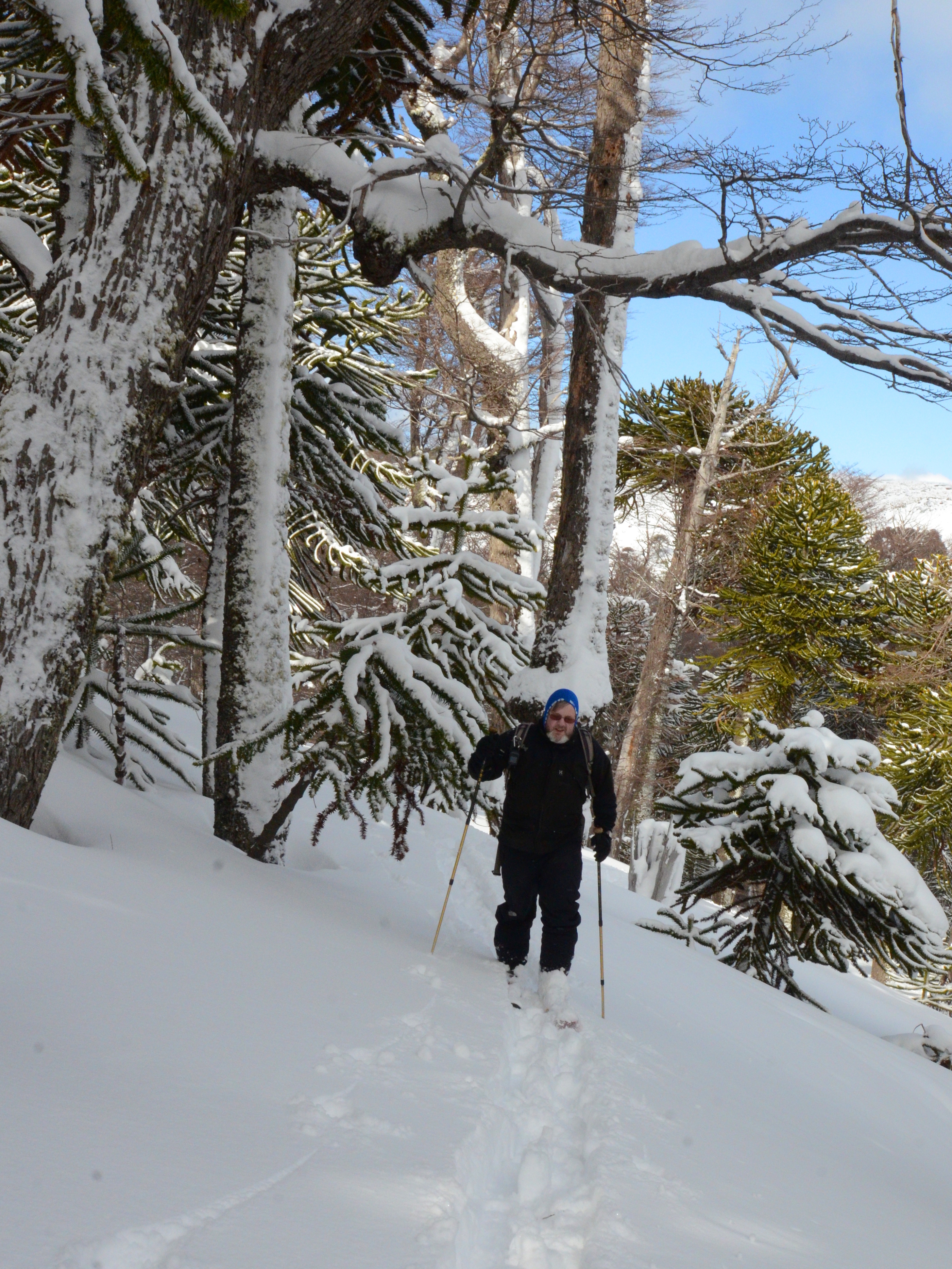
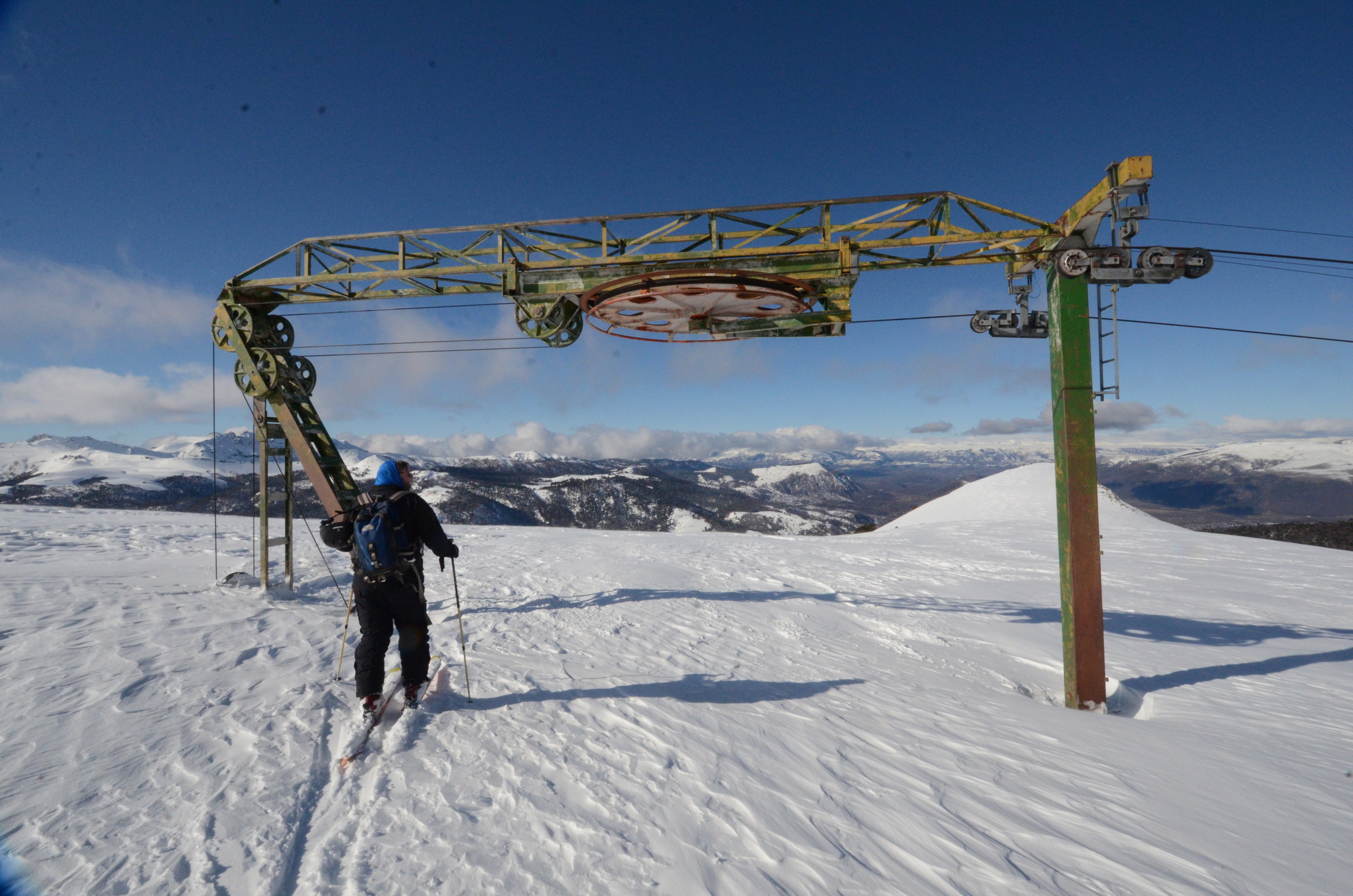
Other pictures from the environment at Los Arenales:
Appendix A: Script
This handy Perl script is one way of combining GPX files:#!/usr/local/bin/perl -w
$header=1;
foreach $i (@ARGV) {
open(FILE, " <$i") || die "Cannot open $i : $!";
undef $/;
$file =
$file =~ s/>/>\n/g;
($h, $b, $f) = split(/ <\/?trk>\n/, $file);
if ($header) {
print $h;
print "
$header = 0;
}
print $b;
close(FILE);
}
print "\n";
print $f;Photos and videos (c) 2015 by Jari Arkko and Tero Kivinen. Script and instructions by Tero Kivinen. Tämä blogi löytyy myös suomeksi. This blog is also available as a TGR version.
This article was originally published in the Planetskier Blogspot article series. Suomenkielisen version tästä artikkelista "OpenStreetMap ja laskettelu" voi lukea myös täältä.
"Mongolia is kind of close, right? Story about an attempt to ski everywhere in the world where there's snow. And in some places where there isn't. On and off-piste skiing on all continents, skiing into craters of live volcanoes, climbing, photography, and travel." The Planetskier blog focuses on skiing, caving, climbing, biking, flying, sauna, and swimming adventures around the world. See the other Planetskier blog articles about skiing, caving, urban exploration, climbing, cycling, flying, swimming, and saunas.